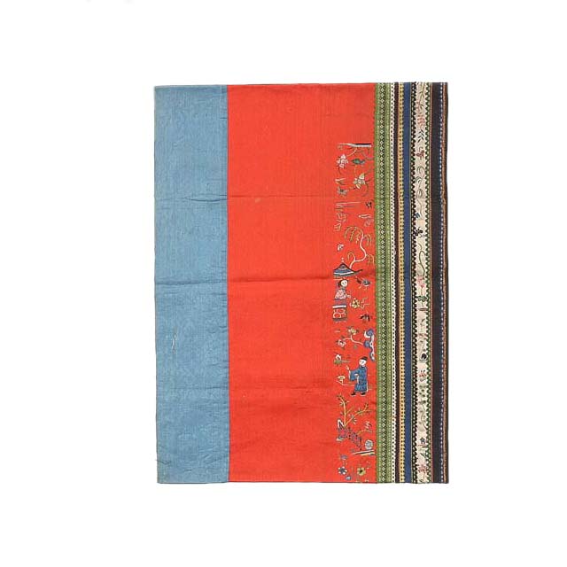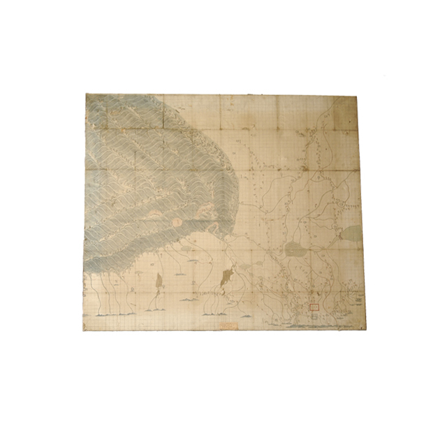
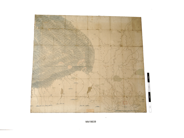
Paper map mounted on canvas on a stretcher. The left hand side depicts waves into which many rivers from the right side flow. The land area is divided into small squared sections. Many place names are indicated in handwritten Chinese inscriptions. The map indicates the geographic location of a place called “南海子, Nanhaizi” (marked in a red rectangle) where was a royal garden and hunting ground during the period of the Liao (遼), Jin(金), Yuan (元), Ming (明), and Qing (清) dynasties. It was located in the daxing (大興) district of Beijing. On the left side of the map an alluvial fan of the Yongding (永定) River is depicted. Yongding River is one of the tributaries of the Haihe (海) River near Beijing There is a inscription “順天府, shùn tiān fǔ” at the bottom of the map, which literally means 'Shuntian Prefecture'. This was the name of a borough in the south of Beijing city during the Ming and Qing dynasties. The inscription “正格每方十里斜格每方十四里, zhèng gé měi fāng shí lǐ xié gé měi fāng shí sì lǐ” on the side of the map can be translated as follows: Every square represents 5000m and every rectangle is is 7000m.


